Trimble offers a comprehensive range of Real-Time Kinematic (RTK) GNSS systems tailored for surveying, construction, GIS, and geospatial applications. These systems provide centimeter-level accuracy, robust performance in challenging environments, and flexible configurations to meet diverse field requirements.
🔍 Key Trimble RTK GNSS Systems
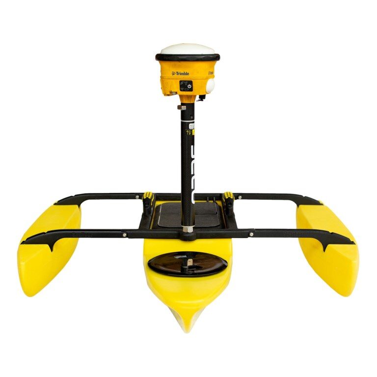
Trimble R12
- Precision: Achieves 8 mm horizontal and 15 mm vertical accuracy.
- Channels: Supports 672 GNSS channels.
- Technology: Features Trimble ProPoint™ GNSS engine for enhanced performance in obstructed environments.
- Connectivity: Offers real-time corrections via satellite (Trimble RTX™) or internet/cellular networks.
- Design: Rugged construction suitable for challenging GNSS conditions.
Trimble R780
- Precision: Provides 8 mm horizontal and 15 mm vertical accuracy.
- Tilt Compensation: Equipped with Trimble Inertial Platform (TIP) for tilt compensation, allowing accurate measurements even when the pole is not perfectly vertical.
- Ruggedness: Built to IP68/MIL-STD-810G standards for durability.
- Connectivity: Integrated 450/900 MHz UHF transceiver and compatibility with Trimble FieldLink software for streamlined workflows.
Trimble R2
- Precision: Offers 10 mm horizontal and 20 mm vertical accuracy.
- Channels: Supports 220 GNSS channels.
- Flexibility: Compact and versatile, suitable for GIS and survey applications.
- Mounting Options: Can be paired with various devices and mounted on poles, backpacks, or vehicles.
- Correction Sources: Supports RTK, VRS networks, and Trimble RTX corrections.
Trimble R750
- Functionality: Modular GNSS receiver that can operate as a base station or rover.
- Connectivity: Features built-in 4G LTE modem, Wi-Fi, Bluetooth, and Ethernet for versatile communication options.
- Technology: Utilizes Trimble ProPoint™ GNSS engine and xFill® technology to maintain accuracy during correction outages.
- Design: Suitable for geospatial, civil construction, and agriculture applications.
🌐 Correction Services & Technologies
- Trimble RTX™: Provides real-time corrections via satellite or internet, enabling high-accuracy positioning without a local base station.
- Trimble ProPoint™: Advanced GNSS processing engine that enhances performance in challenging environments.
- xFill®: Ensures continuous RTK-level accuracy for up to five minutes during correction signal outages.
🧰 Applications
- Land Surveying: High-precision measurements for boundary and topographic surveys.
- Construction: Accurate site layout and machine control.
- GIS Data Collection: Efficient and precise data gathering for mapping and analysis.
- Agriculture: Precision farming applications, including field mapping and guidance.
For more detailed information on specific used and factory recondition discount models, configurations, or to explore customization options, contact Damage Depot.